- Remove Item
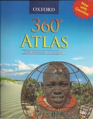
Oxford 360° Atlas for Junior Schools 2nd Edition
Qty: 1 KShs1,334 - Remove Item
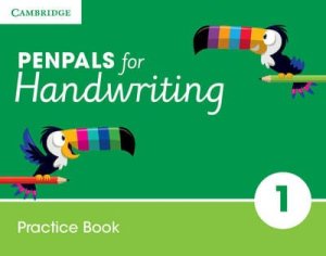
Cambridge Penpals For Handwriting Year 1 Practice Book
Qty: 1 KShs2,194 - Remove Item
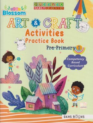
Queenex Blossom Art And Craft Practice Pre Primary 1
Qty: 1 KShs390 - Remove Item
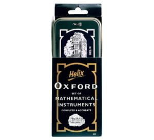
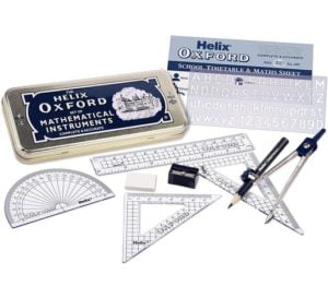
Helix Oxford Mathematical Geometric Set Metal Tin
Qty: 1 KShs350 - Remove Item
Zimwi Hilo
Qty: 1 KShs342 - Remove Item
Spotlight Art and Craft Learners Grade 6
Qty: 1 KShs980 - Remove Item
OUP Kiswahili Dadisi Grade 2 Workbook
Qty: 1 KShs481 - Remove Item
- Remove Item
Mentor Kiswahili Kielekezi Mtaala Wa Kiumilisi Toleo Jipya
Qty: 1 KShs740 - Remove Item
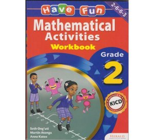
Herald Have Fun Mathematical Activities workbook Grade 2
Qty: 1 KShs360 - Remove Item
Expressway Powder Paints Assorted Colours 500gms
Qty: 1 KShs175 - Remove Item
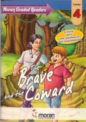
Brave and the Coward Moran Grade Level 4
Qty: 1 KShs406 - Remove Item
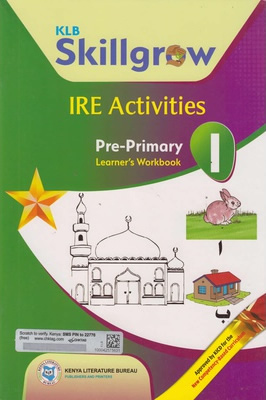
KLB IRE Activities WorkBook PP1
Qty: 1 KShs232 - Remove Item
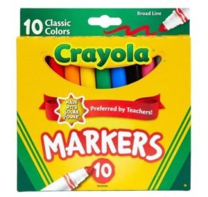
Crayola Markers Classic Broad Line 10pcs
Qty: 1 KShs466 - Remove Item
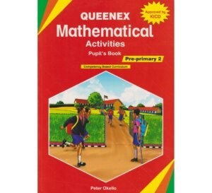
Queenex Mathematical Activities PP2 Approved
Qty: 1 KShs390 - Remove Item
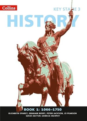
Collins Key Stage History Book 1
Qty: 1 KShs2,834
1 in stock
- Guarantee safe checkout
Share :
SHIPPING
- Complimentary ground shipping within 1 to 7 business days
- Warehouse collection available within 1 to 7 business days
- Kindly call 0110 600 411 to make arrangements for special next-day and express delivery options
- Purchases are delivered in a branded carton box fastened with branded cello tape.
- Kindly call 0110 600 411 for details on alternative shipping methods, costs and delivery times
- See the FAQs for all other important information
RETURNS AND EXCHANGES
- Easy and complimentary, within 24 hours
- See the FAQs for all other important information
Have a question?
Description
This new, fully up-to-date edition includes information on map reading skills, the meaning of scale and measuring distances, and is ideal for classroom use or home learning.
Reference maps:
Informative, politically coloured and easy-to-read
National capitals and major cities are clearly labelled
Maps are supported with national flags and basic national statistics
Continental maps:
Linked to regional mapping
Supported by a selection of aerial and terrestrial photographs
Relief maps show layer colouring and highlight major physical features
Reviews (0)
Recently viewed products
Kigwa Ridge Year 3 Box
KShs25,138
Collins Primary Atlas ISBN 9780008146757
KShs2,670







Reviews
There are no reviews yet.